
Can remote sensors increase your crops' yield by eliminating plant diseases?
Eliminate diseases with 100% effectiveness.
The Challenge
Open Field Vulnerability
Unpredictable climate variability and rapid pathogen spread. Traditional monitoring misses the "silent" early phase.
Greenhouse Complexity
High-humidity microclimates cause diseases to decimate entire rows in hours. Requires surgical precision.
The Risk
$220 BILLION
Lost annually by the global economy due to plant diseases.
40% Yield at Risk
Without real-time sensing, you risk losing up to 40% of potential yield every cycle.

Don't Wait for Visual Symptoms.
By the time symptoms appear, the systemic spread is irreversible. Predictive indexing identifies stress areas days before symptoms occur, allowing targeted treatment.
Our Solution
We help global agricultural leaders achieve 100% disease elimination and 30%+ yield and revenue increases through real-time sensing—without the high costs of manual field scouting.
Remote Sensing Engine
Our proprietary SaaS platform integrates satellite multispectral imagery to continuously monitor crop health across your entire operation — from a single farm or greenhouse to thousands of hectares.
Predictive Analytics
Machine learning models analyze unique vegetation indices and microclimate data to detect early-stage disease stress 5–10 days before visual symptoms appear, enabling precise targeted intervention.
Actionable Dashboard
Farm managers and agronomists access real-time alerts, ground classification maps, and treatment recommendations through an intuitive web and mobile interface — eliminating 100% crop diseases.
Who We Serve
AgriSense is built for commercial farms, cooperatives, and agribusiness enterprises managing any crop - grains, fruits, and vegetable operations across Latin America and beyond. Our platform scales from 50 to unlimited hectares.
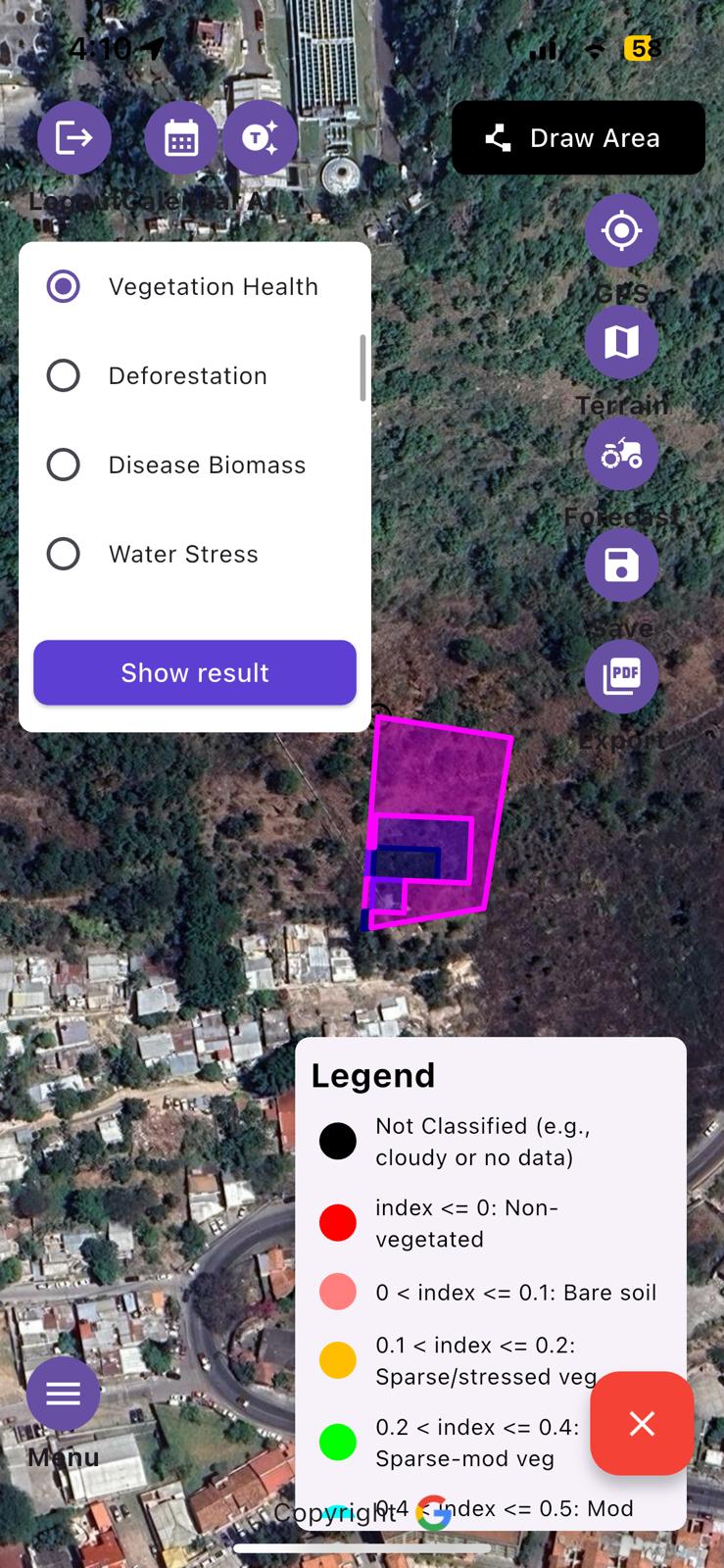
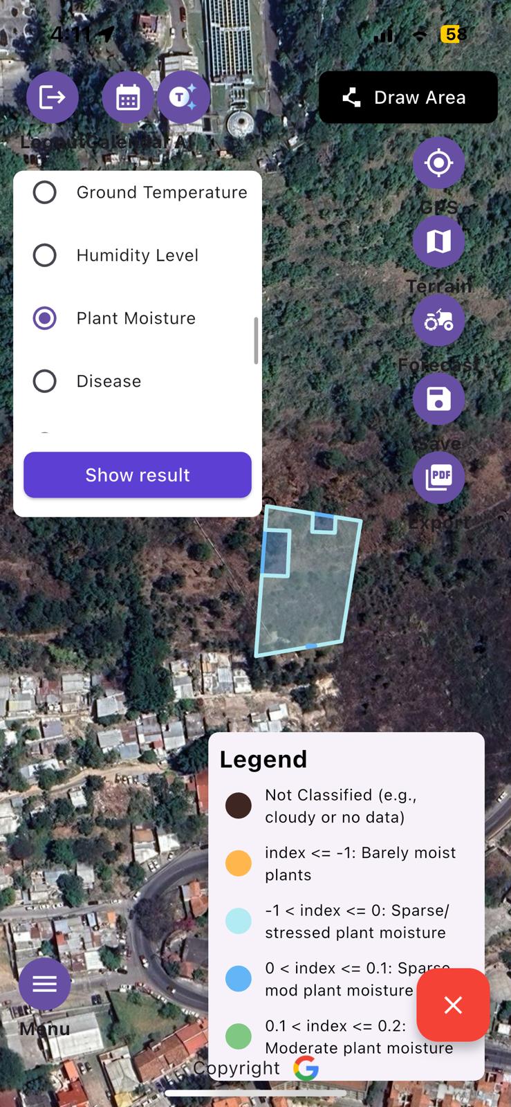
Standard Operating Procedure
Assessment
Precise farm mapping with GPS coordinates and visual terrain analysis.
Implementation
Selection of specific indicators tailored to your farm's greenhouse or open environment.
Optimization
Real-time stress visualization and actionable tailored recommendations.
Secure Your Perfect Harvest
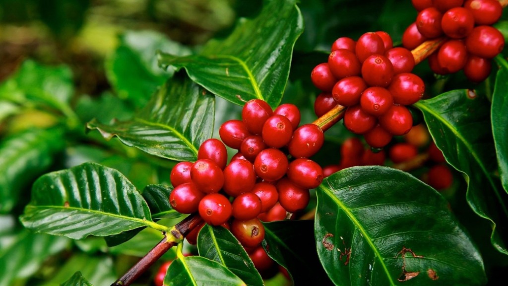

Coffee cherries photo: "What Is Coffee?" About Coffee, https://www.aboutcoffee.org/origins/what-is-coffee/. Wheat field: Wikimedia Commons, CC BY-SA 4.0.
Ready to Secure Your Yield?
Eliminate the guesswork. Start protecting your harvest today.
Schedule a Demo